-
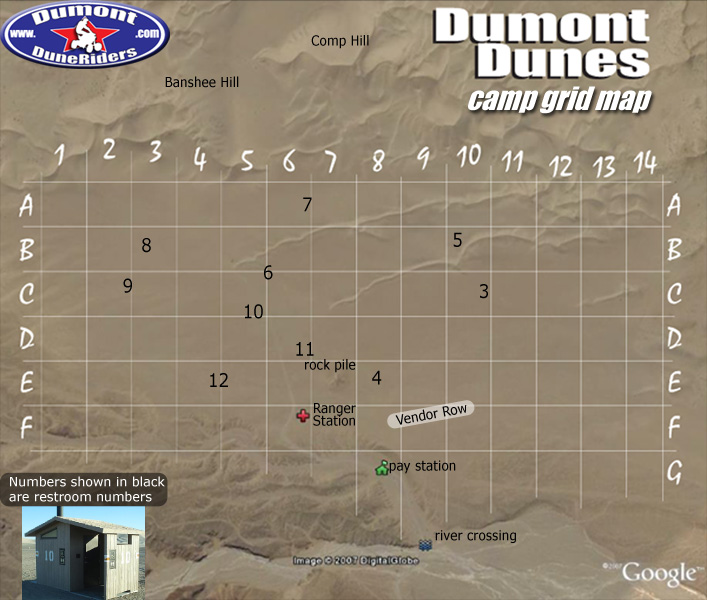
Dumont Dunes Camp Grid Map
GPS coordinates
Dumont North Pole: 35° 41.20 N / 116° 10.61 W
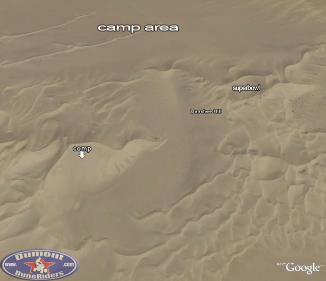
Dumont Banshee Hill: 35°41'4.06"N / 116°13'23.86"W
Dumont Superbowl: 35°41'20.27"N / 116°13'20.07"W
Sperry Wash Entrance: 35°41'50.38"N / 116°15'4.60"W
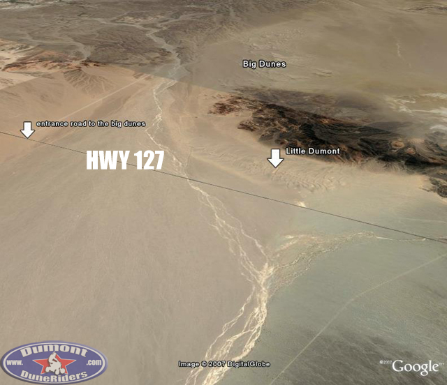
Dumont Little Dunes: 35°38'56.35"N / 116°17'34.49"W
Dumont Vendor Row: 35°41'32.77"N / 116°14'35.65"W
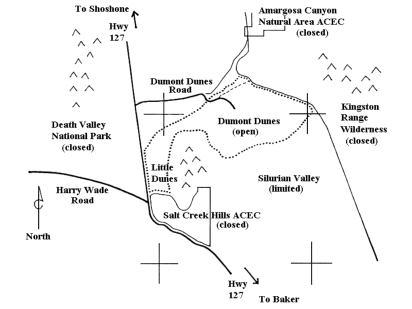
Dumont BLM Ranger Station: 35°41'44.38"N / 116°14'26.34"WDumont Dunes and surrounding areas
Dumont camp area
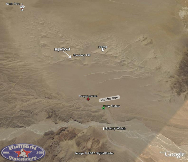
Comp, Banshee Hill & Superbowl
Little Dunes
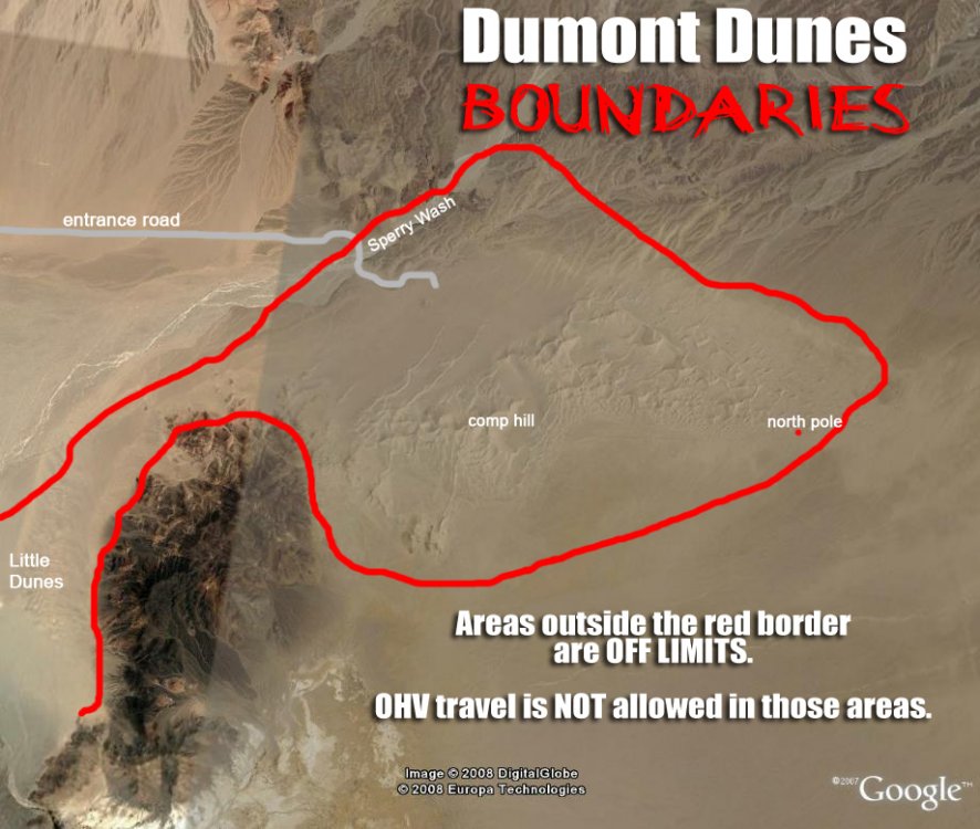
Dumont Dunes Boundaries

