-
Dumont Dunes Landmarks
North Pole
The Dumont North Pole has always been a popular place where you can find duners relaxing and taking a break from a dune ride. The pole is located at the northeastern-most tip of the dunes. It consists of a heavy-duty pole with an attached mailbox where you will find letters to Santa from kids and random notes from fellow duners. Most of the time you will find a magic marker inside the mailbox that some duners use to sign their name on the box. At a decent pace, it is about a 10-15 minute ride from the camp area. Kids love the north pole, but it is a rather long ride for small quads. On a holiday weekend, you can usually find quite the crowd out there.
Dumont North Pole GPS coordinates: 35° 41.20 N / 116° 10.61 W
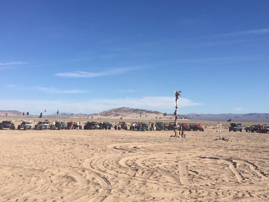
Please note that any off-road travel beyond the north pole out into the desert is prohibited.
That area surrounding the dunes is closed to off-road use. Even if you find tracks leading out to other areas of the desert do NOT follow them. Those trails are out of bounds and you will be fined for riding out there. Cooperation with the BLM on this matter will make life easier for everyone. Be a responsible duner and only ride in allowed areas.South pole
The South Pole was erected by some of DDR's members back in January of 06. It serves as a great spot to meet up with other riders from the site. Located in the south end of the dunes, it is always a nice and peaceful place to plan a ride. See if you can find it your next trip out.
South Pole GPS coordinates: ??? Top Secret! (you'll just have to find it yourself)
Comp Hill
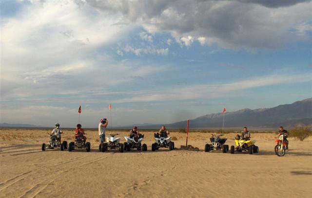
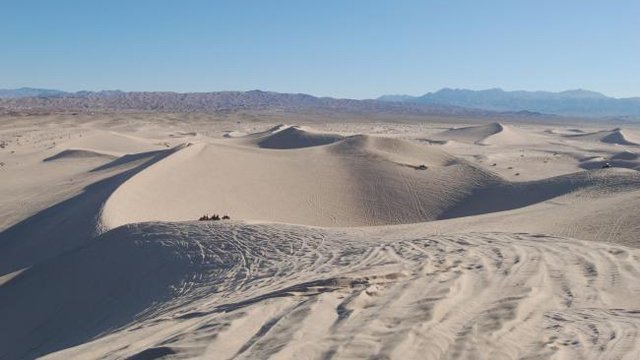
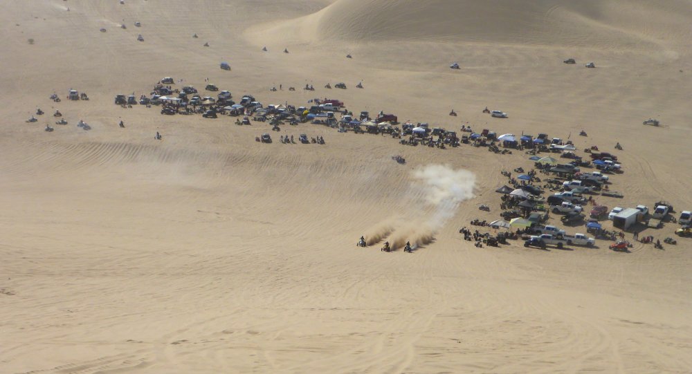
Comp Hill is located in the middle of Dumont Dunes. It is approximately 450 feet tall. Its elevation at its peak is 1200 feet above sea level. Anytime there are duners at Dumont, you will find people racing up comp hill. There is even more action at Comp Hill when the sun goes down. Night time drag racing, partying, and loads of sandrails, bikes, quads, and spectators fill the bottom of the hill well into the night. Comp hill ranges from being very steep (on the left side) to a long, gradual incline in the middle. The left side of comp hill is used for the hill climb competitions on Thanksgiving weekend.
Dumont Comp Hill GPS coordinates: 35°40'46.25"N / 116°13'38.81"W
Banshee Hill
Banshee Hill is the home of the hillshooters. Most of the fast hillshooter 450's and Banshees are always found racing up it. This hill is also used for events such as Four Stroke Wars. Banshee Hill has become more popular for quad hillshooting lately because it has grown in size and distance due to the shift of sand over the years. Banshee Hill is located on the left-hand side as you go through the whoops to Comp Hill.
Dumont Banshee Hill GPS coordinates: 35°41'4.06"N / 116°13'23.86"W
Veteran's Hill (Swingset)
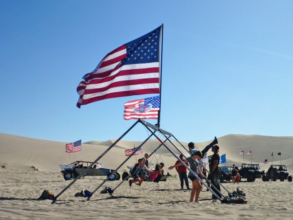
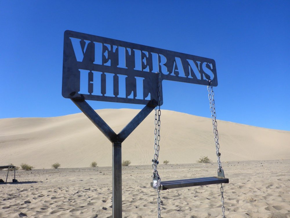
One of the newest landmarks and destinations at Dumont Dunes is the Veteran's Hill swingset. Placed in a valley near a steep dune on the backside of the Super Bowl, it is dedicated to men and women who have served our great country. The swingset is a place for everyone to stop and have fun at while cruising the dunes.
Dumont Swingset coordinates: 35°41'21.0"N 116°13'06.7"W
The Super Bowl
The Superbowl started out as one of the largest bowls at Dumont Dunes. It is located at the northwest edge of the dunes that is adjacent to the camp area. Since about 2010, it has become smaller due to shifting sand dunes and you can now find bowls that are probably larger on the other end of Dumont close to the south end of camp.
Dumont Superbowl GPS coordinates: 35°41'20.27"N / 116°13'20.07"W
Sperry Wash
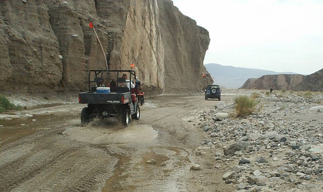
The Sperry Wash offers Dumont visitors a change in pace and scenery. The entrance, which is the wooden ranch style sign is located just before you come to the Amargosa River crossing entering Dumont Dunes. OHV's are not permitted on the main entrance road to Dumont, but there is a small access trail alongside the road to allow for OHV travel to the Sperry Wash from the camp area. These trails consist of mostly pea gravel and dirt so you will want to bring your dirt tires with you if you plan to ride the trail. You will also find a few shallow river crossings throughout the trail that make it that much more of an adventure. OHV use is limited, however, to certain areas of the Sperry Wash. Riding is only permitted along designated trails. The trail snakes through canyons and takes you many miles through the desert. Most people pack a lunch and plenty of drinks as it usually takes a few hours to go through and come back.
Sperry Wash Entrance GPS coordinates: 35°41'50.38"N / 116°15'4.60"W
Memorial Hill
Memorial Hill is located at the south end of the dunes offering a beautiful view of Dumont. It is a place where friends and family have placed memorials for fallen loved ones who loved Dumont Dunes. If you drive all the way to the end of the camp area, south of bathroom 3, you'll find a cable & post fence along the southern perimeter of Dumont. With the fence on your right, drive up the sandy hill or trail until you come to the top. Park there and hike up the hill the Dumont Memorial Hill.
Dumont Memorial Hill GPS coordinates: 35°40'20.74"N, 116°15'11.40"W
Sunset Hill
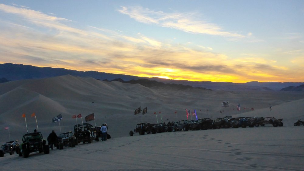
Sunset Hill has become of of the most popular spots to sit and watch the sunset at the end of the day. Just as you enter the the whoops to Banshill Hill & Comp Hill, it's immediately up the dune to your left.
Dumont Sunset Hill coordinates: 35°41'16.85"N, 116°13'37.80"W
Little Dunes
Also referred to as Little Dumont, the Little Dunes are located right off highway 127. These dunes are most frequented by families with kids. There are no big hills or dunes at Little Dumont. All the same rules as the main dune area apply over there as well. There is a trail that connects Little Dumont with the Big Dunes. It is fairly long and dirt tires are recommended.
Dumont Little Dunes GPS coordinates: 35°38'56.35"N / 116°17'34.49"W
Salt Creek Mines
The Salt Creek Mining District is just minutes from the camp area at the big dunes. Old stamp mills, mines and ruins still remain from a mining operation that lasted from 1849 to 1920. Take a short ride from the southwest area of the main camp area at Dumont. You'll see the cable and post border as you get close to the mountains. There is a sandy trail that follows the base of the mountains over to Little Dumont. It gets a little rocky in some areas, but you don't need dirt tires. Your paddles will do just fine as long as you take it easy on the throttle. There are a couple different trails that run next to each other, but they all end up at Little Dumont. Just follow the trails and tracks. Once you get to Little Dumont, continue a little farther south past the dunes. The Salt Creek Mines are located in a canyon not far from there. Just follow the trail and look for the trailhead signage. The mines are nestled in the hills just south of the Little Dunes.
Dumont Salt Creek Mines GPS coordinates: 35°38'9.56"N, 116°16'32.45"W
Vendor Row
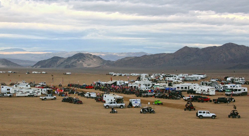
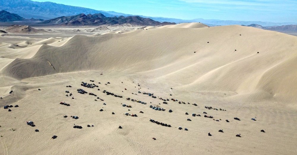
Even though Dumont has no permanent stores or facilities, on a holiday weekend you can find just about anything out at Dumont's Vendor Row. Grab a holiday event t-shirt, ATV parts, firewood, ice, funnel cake, BBQ and much more. You name it, vendors from all over the place come out to sell items at Dumont on the big holiday weekends. Some vendors are even out there as much as every other weekend from October through April. Next time you go to Dumont, stop by and help support the vendors. They make our lives much easier if we are in need of something during our dune trip.
Dumont Vendors Row GPS coordinates: 35°41'32.77"N / 116°14'35.65"W map
The Ranger Station & Visitor Center
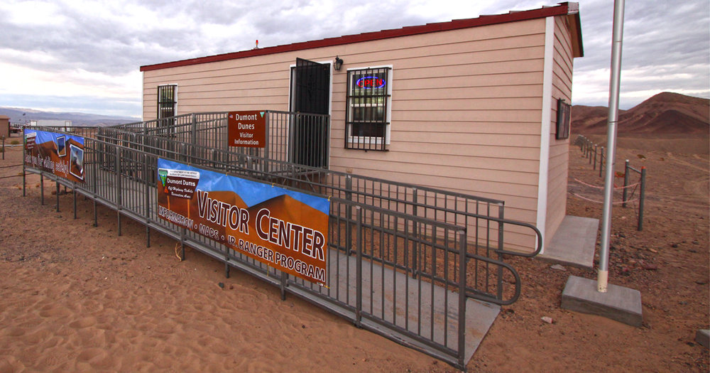
The Dumont Dunes Ranger Station and Visitor Center is located just off to the right of the entrance road as you approach the top of the plateau entering Dumont. Open on most holiday weekends, the visitor center offers Dumont information and brochures, interactive wildlife exhibits, as well as junior ranger program. The Ranger Station is usually fully staffed on the big weekends with law enforcement and emergency personnel.
Dumont BLM Ranger Station GPS: 35°41'44.38"N / 116°14'26.34"W map

.thumb.jpg.9cb719a22569269db7069cf95cca3be3.jpg)
